
P-152: Virtual World Concept Update 131: Planet-sized Terrain: Part 10
My current goal with this project is to fix the LOD and scaling parameters so that I can subdivide the terrain correctly based on the players distance.
Currently, I am rendering a section of the terrain using realistic number. However, my algorithm to subdivide the terrain into different Levels of Detail doesn’t seem to work at realistic distances.
Solving this is proving to be difficult. I think the best thing to do would be to modify the existing system so that the LOD’s are calculated based on the realistic (64-bit) numbers. With the nodes subdivided, I can then easily cull any nodes outside the 10k limit, and then I can either render the rest at their current coordinates, or scale those coordinates down to a more reasonable scale.
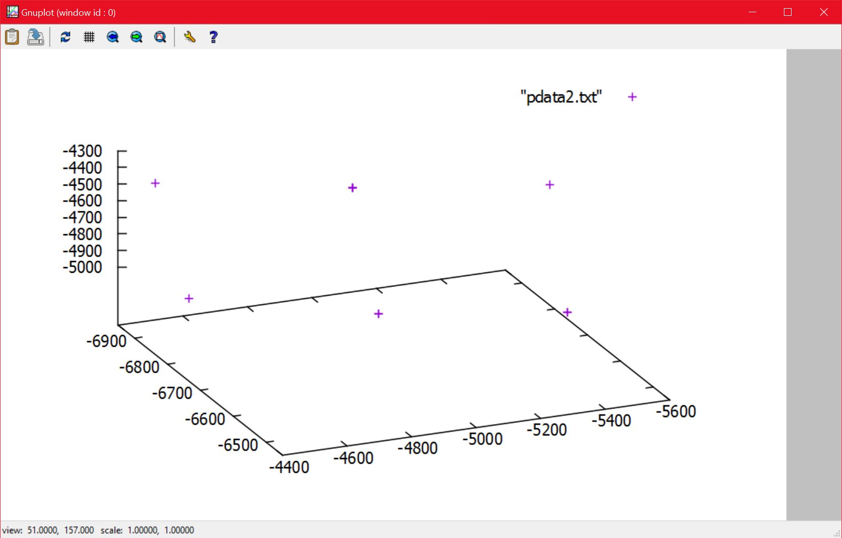
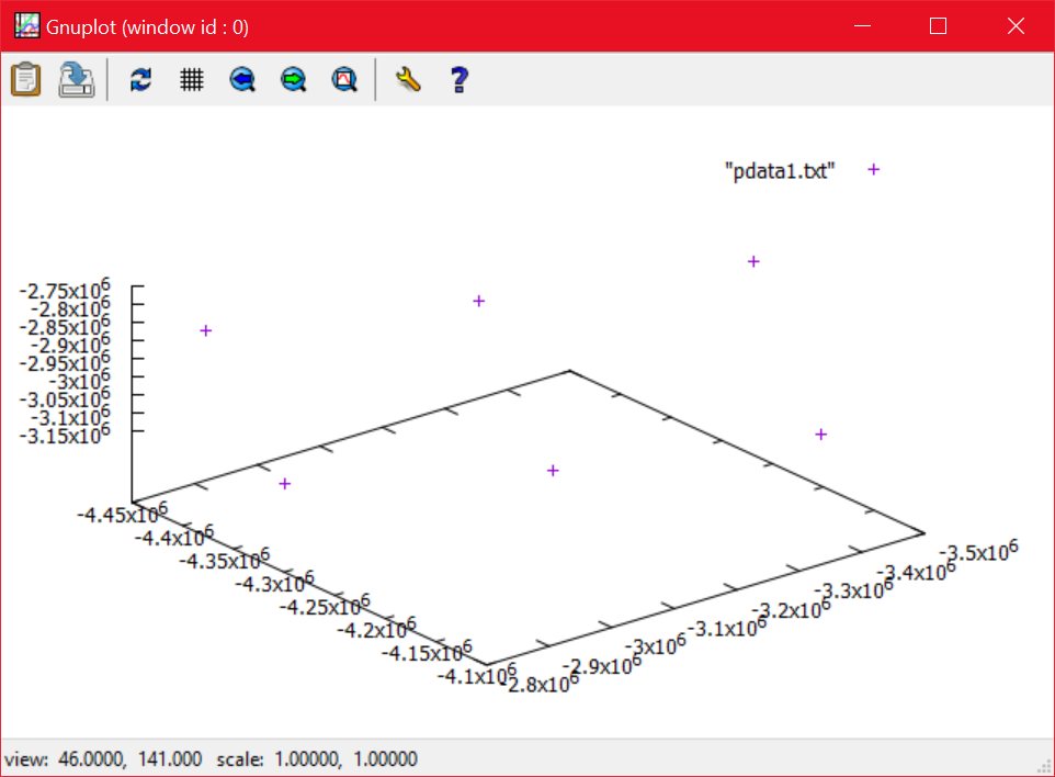
The below plots show a selection of vertices at two different scales, a radius of 6137000, and a radius of 10,000. The shape of the nodes is exactly the same, which is as it should be.
08/07/2016 , 04:34:41 AM
Gnuplot (window id : 0)
08/07/2016 , 04:35:16 AM
Gnuplot (window id : 0)
I am concerned that translating the 64-bit nodes to 32-bit space may not be possible, or may be difficult, but before I can investigate that, I need to solved the level-of-detail problem.
![Spiritus Astrum [P0-B14]: p1557: Towards Early Access](https://i.imgur.com/XZnoVge.jpeg "Spiritus Astrum [P0-B14]: p1557: Towards Early Access")
![Spiritus Astrum [P0-B14]: p1556: Towards Early Access](https://i.imgur.com/T5K2dqM.jpeg "Spiritus Astrum [P0-B14]: p1556: Towards Early Access")
![Spiritus Astrum [P0-B14]: p1555: Towards Early Access](https://i.imgur.com/ViBetHM.jpeg "Spiritus Astrum [P0-B14]: p1555: Towards Early Access")